
VISIONSTAFF INC.
PROFESSIONAL LAND SURVEYING
PROFESSIONAL LAND SURVEYING SERVICES
-

SURVEYING
Boundary Surveys
Topographic Surveys
Construction Staking
ALTA Surveys
Lot Line Adjustments
Records of Survey
ADA Surveys
Property Surveys
Aerial Control
UAV Aerial Surveys
3d Laser Scanning Reality Capture
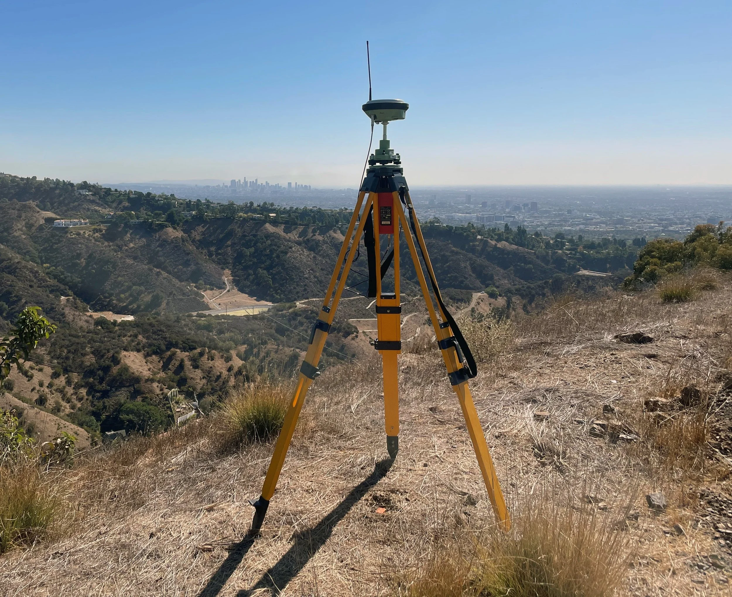
Global Positioning Systems (GPS) Surveys
Final Mapping
Legal Descriptions
Visual Impact Assessment
Final Monumentation
Design Surveys
Encumbrance Mapping
Monitoring
Grade Certification
-
BASE MAPPING
Boundary and Property Analysis
Right-of Way Mapping
As-Built Surveys
Utility Mapping
Aerial Mapping
Environmental Mapping
Easement Mapping
Monitoring/ Deformation Surveying
ADA Topographic Surveys
Planimetric Mapping
3D Modeling
-

UTILITY BASE MAPPING
AUD Drafting
Underground Utility Mapping
Overhead Utility Mapping
Plan and Profile Mapping
Look up and Research
Traffic Control Plans
Utility Locating Coordination
Utility Locating Mapping
Utility Corridor Right-of Way Mapping
Encroachment Surveys
UAV Power pole Inspections
Power Pole Geo Referencing
Power Pole Geo Inventory
Interior Vault Scanning
Utility GEO Referencing
Utility Inventory
Distribution & Transmission Line SAG